
Franklin County's Public Parcel Viewer
As the administrative leadership of Franklin County government, the Franklin County Board of Commissioners (FCBC) is committed to serving its residents through equitable, fiscally sustainable governance, with housing affordability among its core strategic priorities. As part of its Housing Action Plan, FCBC commissioned HR&A and HousingWeaver to develop the Public Parcel Viewer — a platform that identifies publicly owned land best suited for housing development and supports conversations with developer and public partners about how to move those sites forward.
The Challenge
Franklin County and its public partners collectively own thousands of parcels — held by the county, municipalities, townships, school districts, libraries, and similar entities — many of them vacant, underused, or failing to generate tax revenue. Without a systematic way to evaluate that land for housing, those assets were largely invisible to the planning process, leaving one of the county's most powerful tools for advancing affordable housing goals untapped. When a public owner contributes land at a discount or at no cost, those savings can be passed directly to residents through lower rents and home prices.
The Approach
Using data from the Franklin County Auditor's Office, HR&A evaluated roughly 5,300 tax-exempt publicly owned parcels, screening for size, shape, environmental considerations, and development potential. Those parcels were then assessed for suitability across different development scenarios, using market conditions and policy criteria.
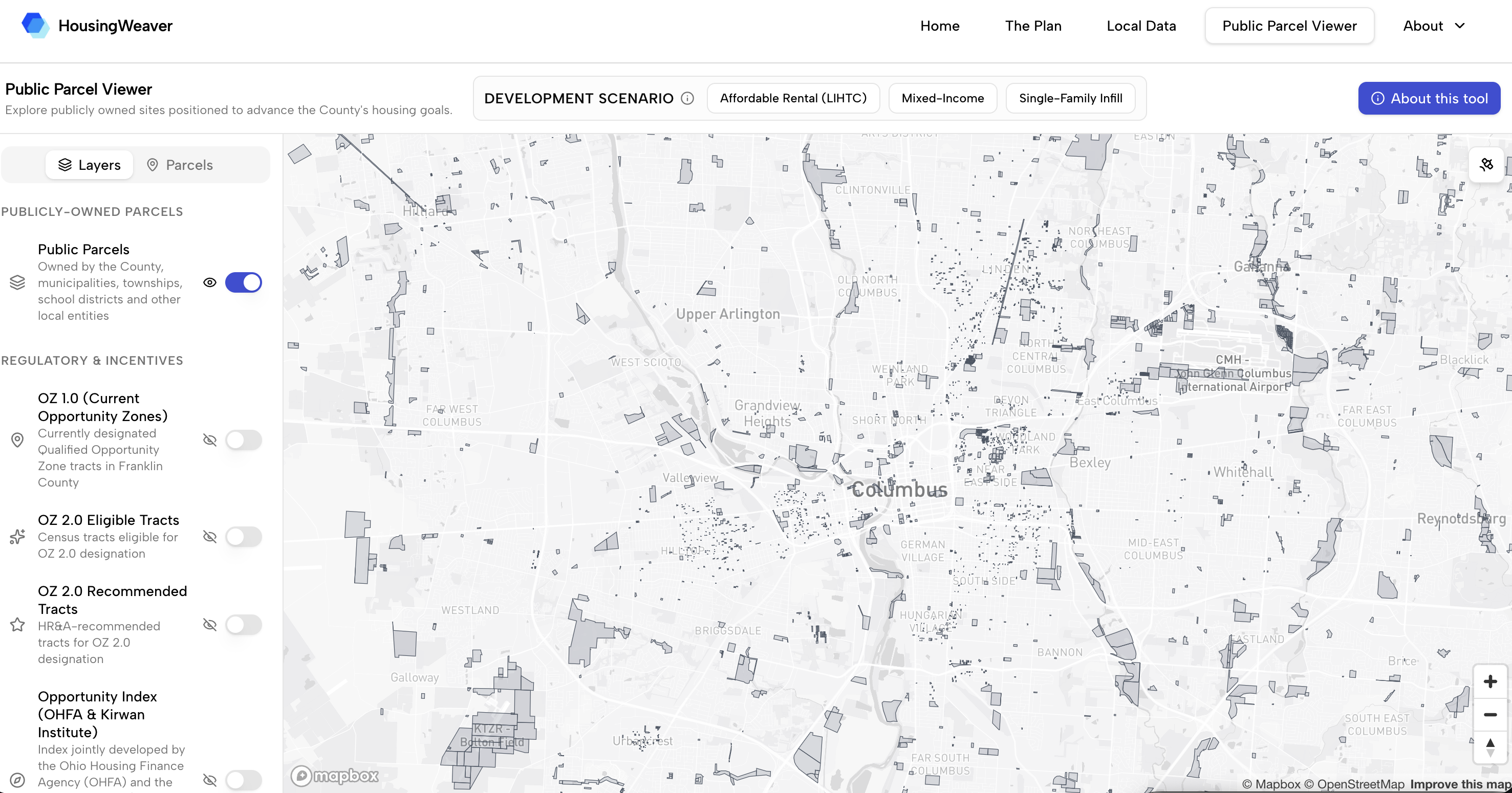
Interactive map of 5,300+ tax-exempt parcels scored for housing development.
The resulting dashboard:
- Scores each priority parcel for LIHTC development, mixed-income development, or single-family infill, based on size, market conditions, access to amenities, and alignment with state Opportunity Zone scoring criteria
- Layers in market data by census tract, helping the County understand development pressure, investment potential, and feasibility context for each site
- Identifies a priority subset of census tracts for Opportunity Zone 2.0 designation, overlaying newly eligible tracts with publicly owned parcels and ranking them by acreage, vacant land scale, and likelihood of attracting private investment
- Presents all findings in an interactive, web-based map designed for use in conversations with developers and municipal partners
Results & What's Next
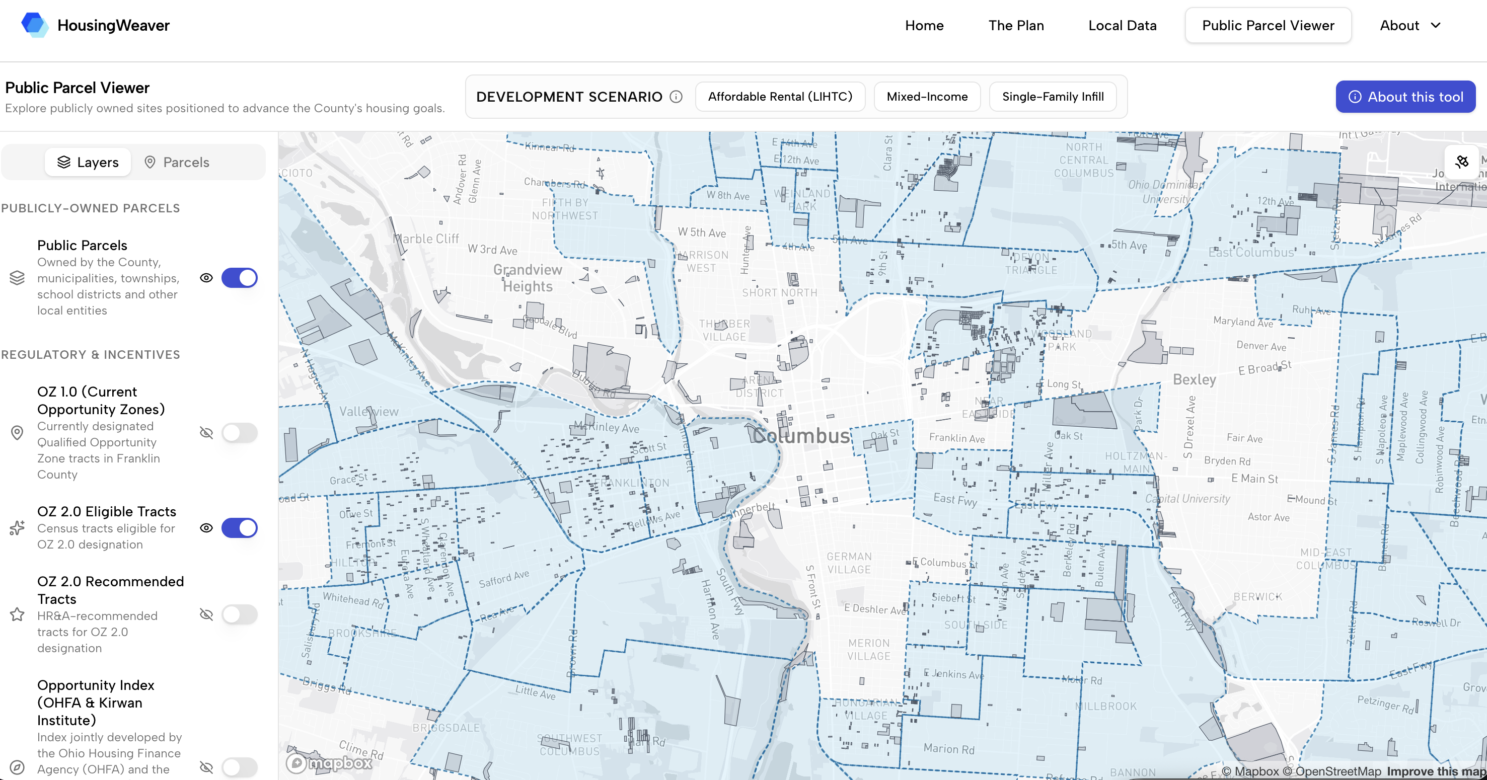
Opportunity Zone 2.0 candidate tracts overlaid with publicly owned land.
The Public Parcel Viewer is currently in use by FCBC staff as a tool for conversations with developers and municipal partners, enabling the County to quickly surface viable sites, assess their feasibility across housing types, and move from analysis to negotiation. The platform's Opportunity Zone 2.0 analysis identifies where publicly owned land and OZ designation can be combined to make mixed-income housing financially viable, giving Franklin County a prioritized list of tracts to bring to the Governor for nomination.